Aerial maps show millions of young trees in Cairngorms
Aerial laser surveys by the University of Cambridge have mapped over six million trees in Scotland's Cairngorms National Park, revealing successful natural
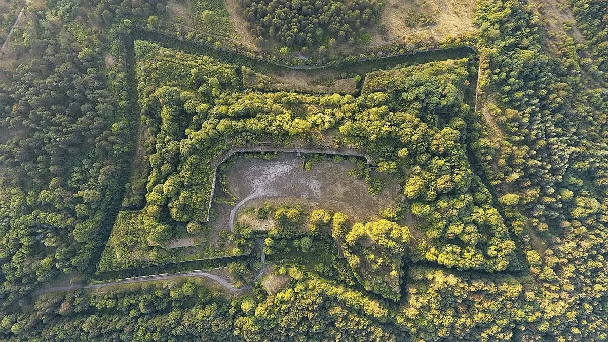
A University of Cambridge-led team has used aerial laser scanning to map more than six million individual trees across a 569 square kilometer area of Scotland's Cairngorms National Park. The detailed 3D maps show that 2.65 million of these trees are under five meters tall, indicating a large-scale recovery of native woodland through natural regeneration.
The research was conducted for the Cairngorms Connect partnership. The partnership is a nature restoration collaboration across 60,000 hectares involving RSPB Scotland, Forestry and Land Scotland, NatureScot, and WildLand Ltd. The team used a light aircraft flying at 600 meters, equipped with LiDAR technology, to collect the data. A new AI-supported analysis method then identified and measured the height of every tree.
Mapping the Regeneration
The results provide a precise picture of where young trees are establishing. Just over 40% of the mapped trees are under five meters tall. These regenerating trees are mostly found near the edges of existing forests, where seeds naturally fall. However, some new trees were detected growing more than half a kilometer from any forest edge. The study also found that habitat type influences regeneration, with fewer new trees establishing in boggy areas compared to dry heathlands.
Dr. Aland Chan of the University of Cambridge's Center for Landscape Regeneration co-led the work. "The ability to map regenerating trees so precisely, at such a huge scale, is a breakthrough for monitoring nature restoration at a landscape scale," he said. The method's accuracy was validated by point measurements on the ground and comparisons with field surveys by Cairngorms Connect and RSPB Scotland.
A Tool for Future Monitoring
The researchers state this approach could transform how woodland expansion is tracked. Dr. Pip Gullett of the Cairngorms Connect partnership, a co-author of the study, noted the method's utility. The new LiDAR-based method is excellent at tracking where new woodlands are establishing across the landscape, and also for tracking the impacts of fires-which are increasing in severity with climate change, she said. Gullett added that this will be a great way to monitor large-scale woodland expansion as more Scottish landowners look to re-establish native woods.
The team believes the method has global potential for monitoring forest management and restoration. It could complement or partially replace hundreds of hours of ground surveys by staff and volunteers.
The Impact of Deer Management
The successful regeneration is linked to a landscape-scale approach to deer management across the Cairngorms Connect area. Historically, deer browsing and the high cost of planting trees within fenced areas inhibited woodland expansion in Scotland. The study shows that more than 5,235 hectares of previously open land now support young woodland, defined as land with more than 100 trees per hectare. This expansion has occurred largely naturally over the past decade, with only small areas of planting where natural seed sources were unavailable.
This reversal is significant for a landscape where centuries of clearance for agriculture and hunting have left only 4% of the original native forests. The Cairngorms Connect partnership aims to double the size of the existing forest, aligning with the Scottish Government's strategy to create 3,000 to 5,000 hectares of new native woodland annually to capture more carbon. The return of forested land also benefits threatened wildlife species in the region, including capercaillie and red squirrels.